

GALERA · Places to visit
Earthquakes Preserved in the Landscape — Galera Seismites
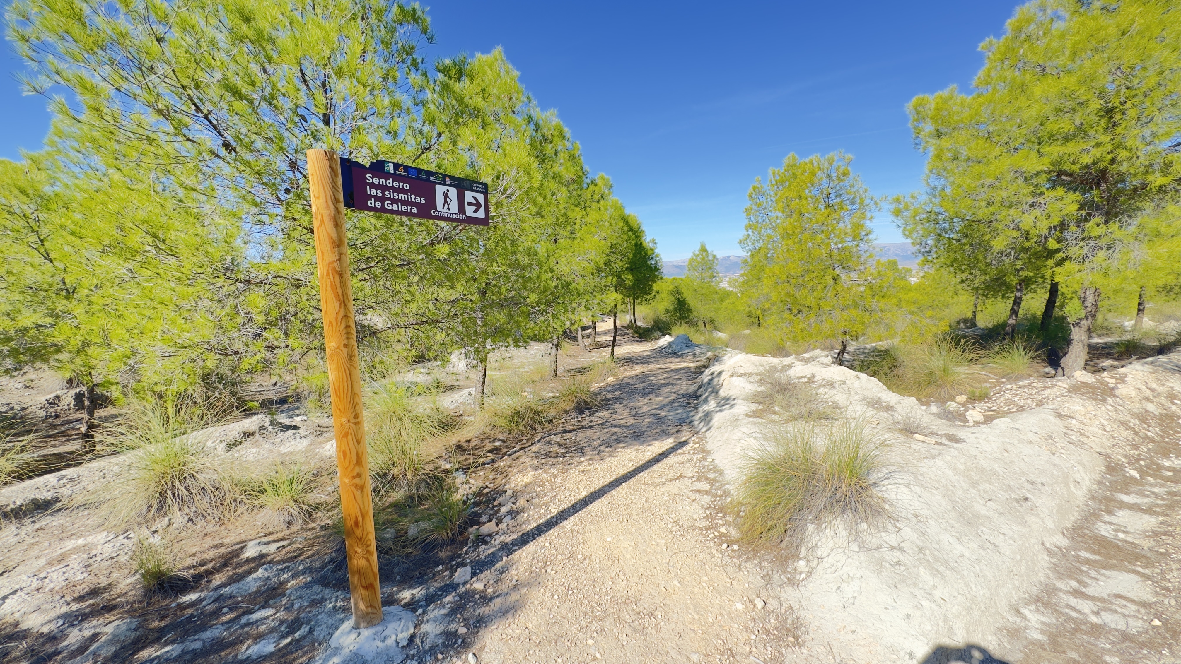
Layers of still-soft, water-saturated sediment accumulated at the bottom of the lake. When a seismic tremor struck, some of these materials temporarily lost their consistency and behaved much like a liquid. This process, called liquefaction, could deform the layers. The resulting structures are known as seismites. Later erosion exposed them, and at Galera some can be observed in three dimensions.
Notice the curves and how they relate to the surrounding sediment layers. Their appearance may call to mind the shapes of living things, but here we are studying the deformation of the ground. Follow the trail’s observation points without climbing on the formations or collecting fragments: they are fragile, and every part preserves information about how they formed.
Useful information
Keep exploring Galera
All themes →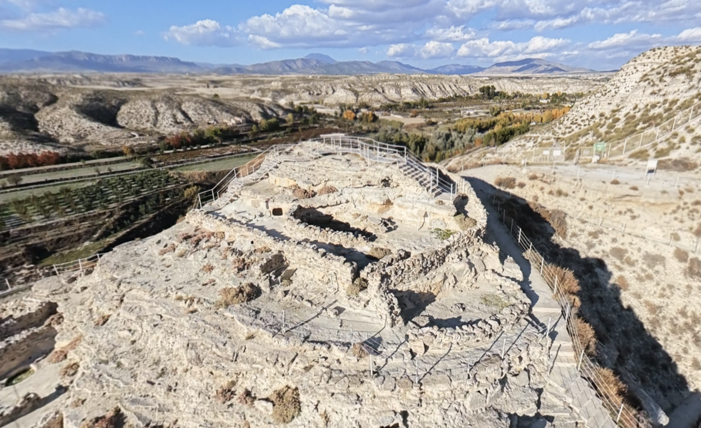
Acropolis
From the highest part of Castellón Alto, you can look out over the valley and its cultivated land.
Discover this place →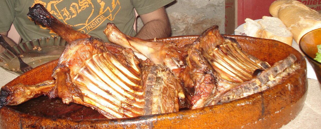
Segureño lamb and other traditional dishes
Winter cuisine brings together foods and work associated with preserving provisions.
Discover this place →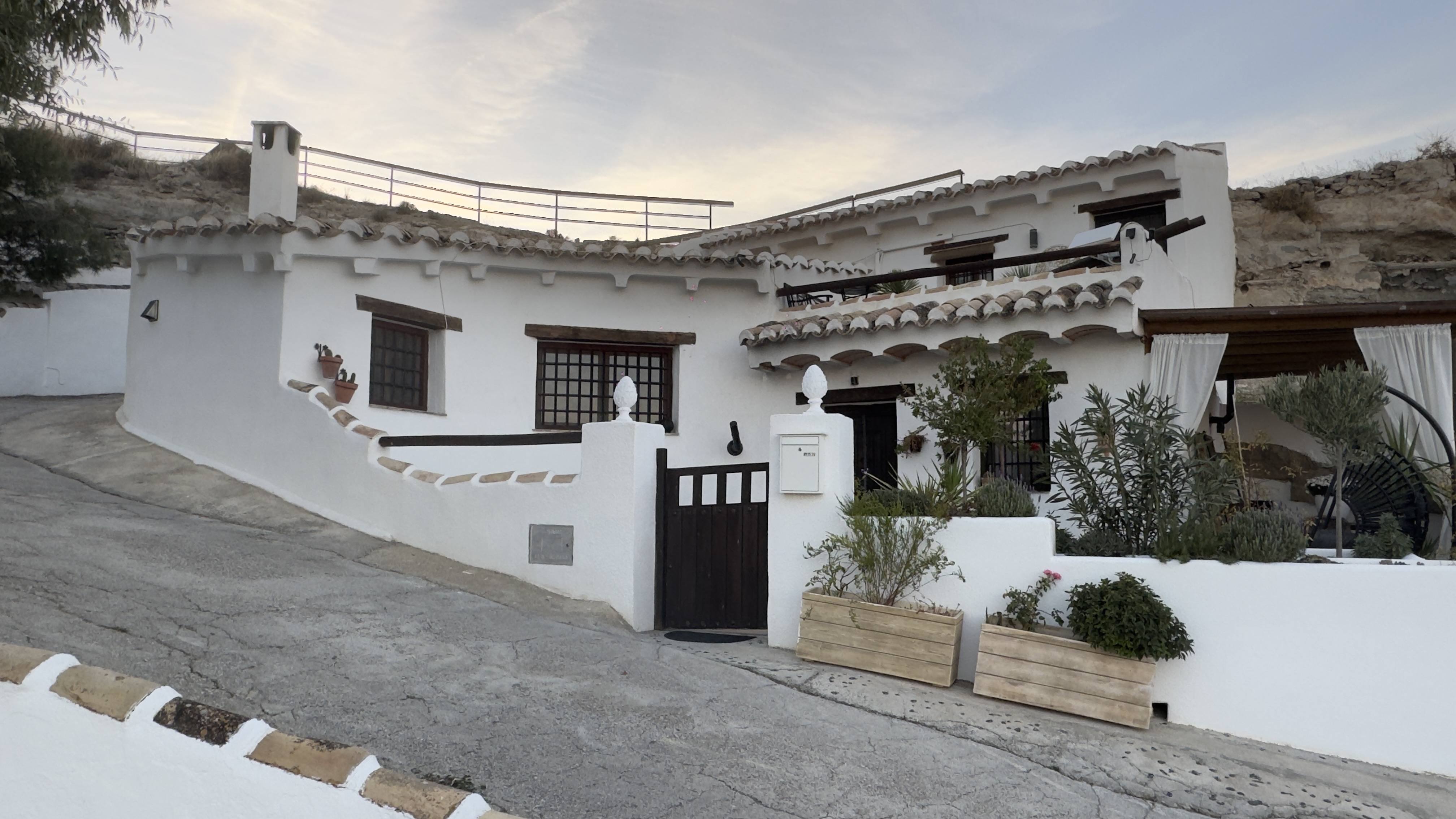
Panoramic Viewpoint and Cave Houses
From this viewpoint, look for the façades and chimneys on the slopes: they reveal homes whose living spaces extend into the ground.
Discover this place →Domingo y Quiles Winery
Domingo y Quiles Winery is part of a family story that began in Galera in the early 20th century.
Discover this place →Jaraíz Winery
The name Jaraíz connects this winery with a word from traditional winemaking.
Discover this place →Bodegas Carayol y Castellar
Bodegas Carayol y Castellar is part of the route devoted to Galera’s wine culture.
Discover this place →